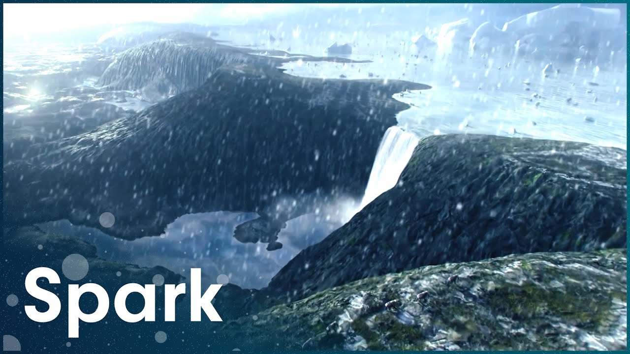
The Cataclysmic Megaflood That Formed Modern Europe
About 450,000 years ago, Great Britain was still bolted to the continent, joined to mainland Europe by a limestone ridge running between what are now Dover and Calais. This film reconstructs the catastrophe that broke that connection: a megaflood powerful enough to carve the English Channel and turn a peninsula into an island. Geologists and engineers walk through the physical evidence in the chalk cliffs and seabed sediment, explaining how a natural dam failed and unleashed water at a scale with few parallels in the geological record. The film also traces the slower machinery of the Ice Age that set the stage, showing how glaciers up to 3,000 meters thick worked as conveyor belts, dragging Scandinavian rock hundreds of kilometers south to form the hills of Germany and Denmark. Animated reconstructions and landscape footage sit alongside expert interviews to lay out the sequence, from the ice sheets' advance to the moment the barrier gave way. It is a story about how a single flood event rewrote Europe's map.