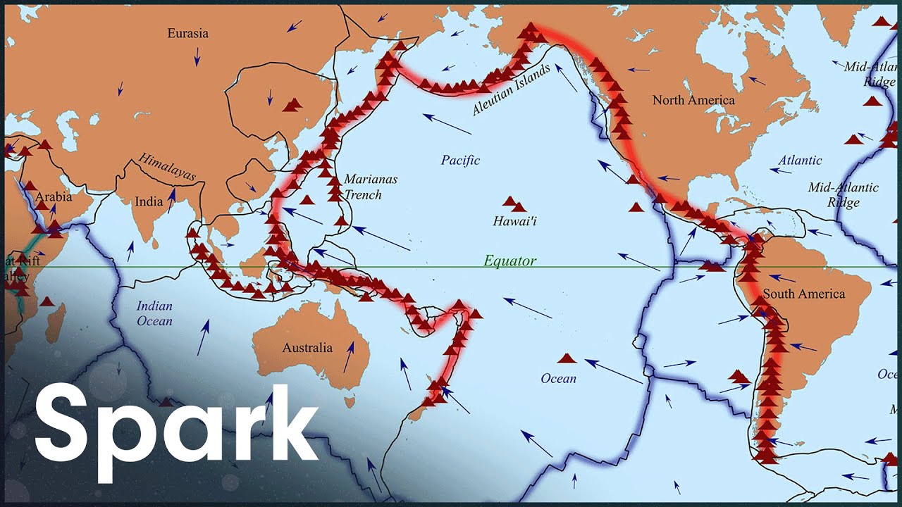
The Pacific Ring Of Fire, Explained
Professor Nick Isles travels the Pacific Ring of Fire, from Alaska's glaciers to the Chilean desert, tracing the fault lines and subduction zones that make this horseshoe of coastline the most seismically and volcanically active region on Earth. The film follows the mechanics of plate collision, showing how oceanic crust dives beneath continental plates to build mountain ranges and feed the magma chambers behind eruptions. Location footage moves between volcanic peaks, fault scarps, and coastal towns rebuilt after past disasters, while the narration works through specific case studies of earthquakes and eruptions to explain why certain stretches of coastline keep getting hit. Isles treats the Ring of Fire not as a single event but as an ongoing process, connecting Alaska's glacial terrain to Chile's arid volcanic belt through the same underlying tectonic system. The film is straightforward geology explainer territory, built around clear visual demonstrations of plate movement and real locations rather than dramatization, aimed at viewers who want the mechanics behind the headlines about Pacific earthquakes and volcanoes.