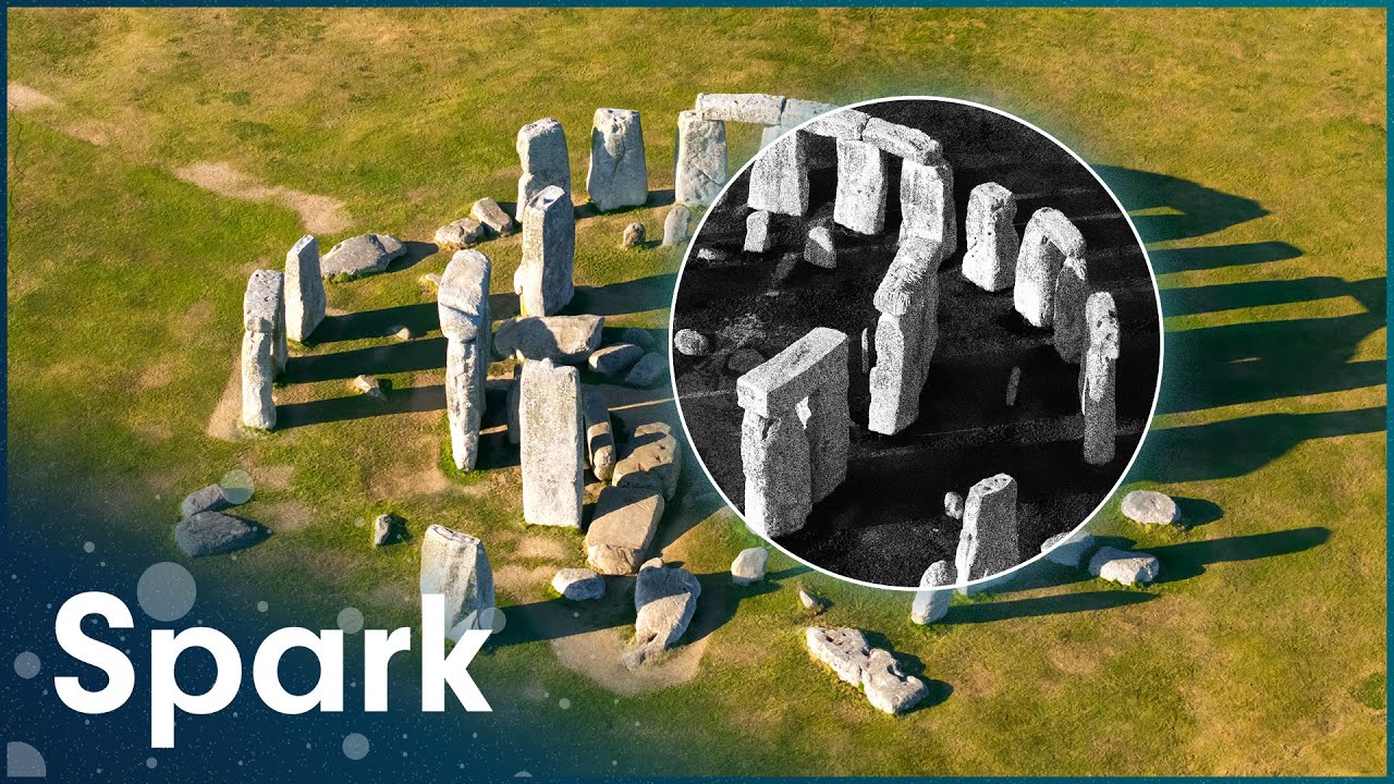
What Satellite Technology Teaches Us About Stonehenge
Stonehenge has been credited to Druids, Romans, and even supernatural builders, but this film follows the archaeologists and engineers using modern forensic methods and satellite survey data to test those old stories against the physical evidence. Researchers examine the bluestones hauled from Wales, run engineering experiments to see how Neolithic builders could have moved and raised sarsen stones weighing many tons, and use remote sensing to map buried features around the monument that are invisible from the ground. Interviews with scientists working the site sit alongside footage of the stones themselves and reconstructions of the tools and techniques prehistoric builders might have used. The film treats Stonehenge less as a mystery to be solved once and for all than as a puzzle that keeps yielding new pieces as technology improves, tracing how satellite imaging and materials analysis have overturned decades of assumptions about who built it, how, and why. It closes with the monument still keeping some of its secrets, even as the toolkit for questioning it grows sharper.